 AER scientists provide researchers and enthusiasts real-time insights on one of North America’s and Europe’s leading drivers for extreme and persistent temperature patterns. Author Judah Cohen, Ph.D., works at Atmospheric and Environmental Research (AER), a division of Verisk Analytics.
Do you want to be notified when there's an update to this analysis? Use this form and put "AO updates" in the field labeled Requests or Comments.
Summary
- The Arctic Oscillation (AO) is currently neutral but is predicted to trend first positive over the next couple of days and then negative.
- The positive AO trend is reflective of the tropospheric polar vortex that brought the record cold temperatures to New England swinging into the northern North Atlantic and resulting in negative pressure/geopotential height anomalies over the North Atlantic side of the Arctic basin while positive pressure/geopotential height anomalies persist across the mid-latitudes of the North Atlantic. This will result in a milder weather pattern both across the Eastern United States and Western Europe.
- The return to a positive AO atmospheric state is consistent with very active vertical atmospheric energy transfer predicted this week that will continue to perturb the stratospheric polar vortex.
- However, the positive AO trend is predicted to be short lived as the tropospheric polar cap heights (PCHs) warm later in the week as expected 10-14 days following the sudden stratospheric warming that was observed last week.
- Once the tropospheric PCHs warm 10-14 days following a SSW, mean warm tropospheric PCH and/or a negative AO is favored for the following 4 weeks.
 The negative AO trend in the troposphere should be reinforced further as the stratospheric PCHs warm and/or the stratospheric AO turns negative in response to another week of active vertical energy transfer.
 - As PCHs are predicted to warm/build more on the North Pacific side of the Arctic, I am most confident in a cooling trend in eastern North America and ongoing cold temperatures in East Asia
- A return to colder temperatures across Western Europe is less certain since the near term position of the favors strong westerly flow of maritime air into Europe, which would inhibit a turn to cold temperatures. A PV split is becoming more likely. One piece of the PV will pivot into East Asia ensuring ongoing cold temperatures. A second piece will pivot towards Europe. If the PV piece stays north of Europe, then temperatures will likely to stay mild. However, if the PV sinks further south this would favor a turn to colder temperatures for Europe.
Impacts
The AO is currently neutral but is trending positive in the near term as geopotential height anomalies fall on the North Atlantic side of the Arctic, especially between Iceland and Northern Europe while positive geopotential height anomalies continue to dominate the North Atlantic mid-latitudes. The height falls in the northern North Atlantic is in response to the approach of the piece of the tropospheric PV to the region as the PV spins away from the Northeastern United States (US) and southeastern Canada, where it resulted in record cold temperatures and heads towards Europe. With the AO rising into positive territory, temperatures are predicted to turn milder this week both across Western Europe and the Eastern US. Meanwhile across Asia, the pattern has been very persistent with positive geopotential height anomalies across Western Asia and negative geopotential height anomalies across Eastern Asia.
 Therefore, the pattern of mild temperatures across Eastern Europe/Western Asia and cold temperatures across East Asia will persist into the foreseeable future.
I expect that active troposphere-stratosphere coupling will dominate the weather patterns through the end of winter. In the near term yet another round of above normal vertical transfer from the troposphere to the stratosphere favors a positive AO in the troposphere and a milder pattern for the US and Europe. However, the AO is predicted to experience a trend reversal by midweek and to begin a longer term negative trend. The return to a negative AO state is consistent with pervious research that demonstrates that a negative tropospheric AO is favored 10-14 days following a SSW. Also the latest vertical energy transfer is predicted to perturb the PV further, warm the polar stratosphere yet again and force the stratospheric AO negative. With the tropospheric AO trending negative in response to the SSW last week, the stratosphere and the troposphere are predicted to become fully coupled in a negative AO state. This will likely favor a negative mean AO in the troposphere through the end of winter.
 General temperature trends across the NH should mirror trends in the AO. Over the next week or so, an overall mild pattern will be in place consistent with the positive AO. However, beginning next week, the AO is predicted to return to the negative phase and temperatures should turn relatively colder across the NH.
The models are predicting for the PV to remain over the northern North Atlantic while geopotential heights remain high across the North Pacific side of the Arctic in the stratosphere. This should result in a tropospheric reflection of strong positive geopotential heights across the North Pacific of the Arctic. Strong geopotential height rises across part or all of the Arctic basin favors lower geopotential heights across Eastern Siberia, eastern North America and Northern Europe. Lowering geopotential heights in eastern North America and East Asia coupled with ridging to the west will promote a northerly flow of cold air for those regions. Across Europe the predicted position of the PV between Iceland and Scandinavia will likely help anchor deep low geopotential heights just north of Europe. Counterclockwise flow around the low geopotential height center will help to maintain a mild westerly flow of air across Europe. However, the models are more consistently predicting a PV split with one piece of the PV over Eastern Siberia and the other piece remaining near northern Europe. If the PV north of Europe sinks further south this should increase the probability of more sustained cold across Europe.
Recent and Very Near Term Conditions
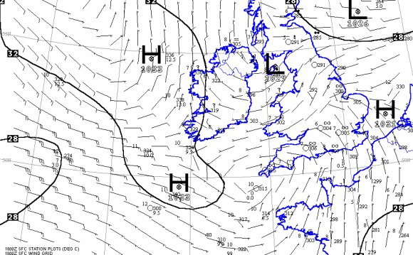
Currently, the AO is neutral and is predicted to jump positive for the next couple of days before reversing and trending negative more long term (Figure 1). The current positive AO is reflective of negative geopotential height anomalies coalescing on the North Atlantic side of the Arctic while positive geopotential height anomalies continue to dominate the North Atlantic mid-latitudes. (Figure 2).
Figure 1. The predicted daily-mean near-surface AO from the 00Z 15 February 2016 ensemble. Gray lines indicate the AO index from each individual ensemble member, with the ensemble-mean AO index given by the red line with squares.


RELATED VIDEO


Share this Post
latest post
-
 North Sea Restaurant DC June 29, 2023
 -
 North Sea oil drilling May 30, 2023
 -
 North Sea Radio Orchestra April 30, 2023
 -
 Overfishing in the North Sea March 31, 2023
 -
 North Seas March 1, 2023
 -
 North Sea oil and gas jobs January 30, 2023
 -
 Offshore catering jobs North Sea December 31, 2022
 -
 Map of North Sea oil Platform December 1, 2022
 -
 North Sea Cycle Route November 1, 2022